Land Forms
Weather/Climate
Vocabulary
Global Warming
Maps
100
What type of Land Form is this?
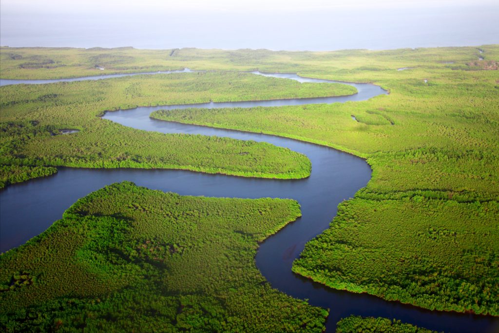 River
River
100
What is the Weather of Texas?
It is usually hot and dry
100
What is a location?
a specific point on the Earth’s surface
100
Is climate change real?
Yes!
100
What are maps used for?
we use maps as a reference to show political boundaries, landforms, water bodies, and the positions of cities. Maps also help us to know the routes of an area, landmarks, location
200
What type of landform is made by tectonic plates pushing into each other?
A Mountain Range
200
What is the difference between Climate and Weather?
Weather refers to short term atmospheric conditions while climate is the weather of a specific region averaged over a long period of time.
200
What is a region?
a spatial division of the Earth’s surface that shares a common characteristic
200
What is one thing that causes the earth to warm?
increased presence of greenhouse gases like carbon dioxide in the atmosphere
200
What type of map of this?
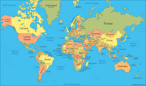
A Political Map
300
What is group of islands called?
An archipelago
300
How many climate zones are there around the world?
5
- Tropical:
- Dry
- Temperate
- Continental
- Pola
300
What is cultural landscape?
the physical setting created by humans that reflects the identity and culture of the area
300
How does the Ocean affect global warming?
As the planet's greatest carbon sink, the ocean absorbs excess heat and energy released from rising greenhouse gas emissions trapped in the Earth's system
300
What is a map maker called?
Cartographers and photogrammetrists are mapmakers. They use information from a variety of sources to create visualizations of the world on a small scale.
400
On what continent is the biggest rainforest found on?
South America
400
How does the Equator affect Climate?
The equator receives more intense sunlight than the poles because the Earth is spherical.
400
What is free enterprise?
market system operating free from government intervention
400
What is one thing about the sun that contributes to global warming?
The Sun is the source of energy that drives Earth's climate system. Solar radiation warms the atmosphere and produces global wind patterns
Solar Flares!
400
What does GPS stand for ?
Global Positioning System
500
What type of Biome will usually have dunes, Canyons, and a Mesa?
A Desert
500
How is Antarctica considered a desert?
Though Antarctica is really, really chilly, it is considered a desert because it receives very little rain or snowfall.
500
What is primary economic activities?
– economic activities focused on the extraction of natural resources
500
What are 3 or more effects of global warming?
the loss of sea ice, melting glaciers and ice sheets, sea level rise, and more intense heat waves.
500
Why is Greenland bigger on a map then it actually is in real life?
In a Mercator projection, landmasses such as Greenland and Antarctica appear far larger than they actually are relative to landmasses near the equator.