The Earth initially had only ONE large landmass called:
Pangea
A "natural feature of the Earth's surface" is called a __________.
Landform
A _______ is a natural stream of water that runs through the land.
Example: there is one named after the state of Illinois!
River
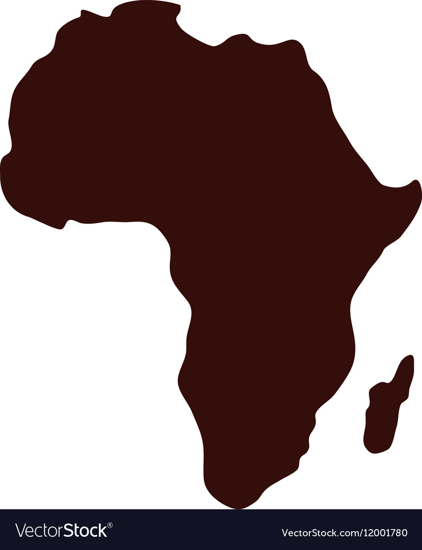
What continent is being shown on this map?
Africa
The Atlantic Ocean and Pacific Ocean are split into North and South by the ________________.
Equator
What is the hypothesis that today's continents were once part of a single large landmass that broke apart millions of years ago called? "____ ______."
Continental Drift
an area that is smaller than a continent and completely surrounded by water is called an "_____."

Island
A ____ is a sizable inland body of water.
Example: there is one named after the state of Michigan!
Lake
The world is split into the Eastern and Western Hemispheres by the _____________________.
Prime Meridian
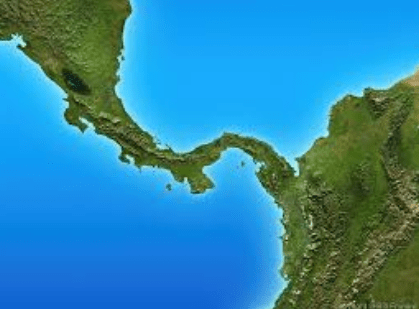
What kind of landform is shown in the image?
What is the name of the scientist associated with the theory of Continental Drift?
Alfred Wegener
Define "archipelago."
A group of Islands.
A ________ is a large body of water completely or partly surrounded by land.
Sea
What are the 3 types of regions?
*Formal region
*functional region
*Vernacular/perceptual region
What is the vocabulary word for this definition?
a specific location on Earth defined by its unique combination of physical characteristics (like landforms, climate, vegetation) and human characteristics (like culture, population density, built environment)
Place
Which continents separated from Pangea first?
The northern continents
The country of Italy and the state of Florida are examples of what kind of landform?
A Peninsula
Tributary
What map projection is most commonly used by schools and Google Maps?
Mercator Map
What Ocean is directly WEST of North America?

Pacific Ocean
Other than the shapes of the continent's coastlines, what else did scientists match up to find where/how the landmasses fit together?
tectonic plates under the water
AND
the fossils of plants and dinosaurs matched up
Name one famous mountain from the United States and one famous mountain from somewhere else in the world.
TBD by teacher
Define "isthmus"
a narrow stretch of land connecting larger land areas.
List the 5 themes of Geography!
Movement
Regions
Location
Human-Environment Interaction
Place
Name an example of a Vernacular (or perceptual) region in the United States
Examples:
The Midwest
The South
The East/West Coast, etc.